The digital era has made it easy for us to explore the world without leaving our homes. An interactive Poland map is a great example, showing deep details of the country’s layout. It’s perfect for learning, travelling, culture discovery, and getting to know the area. The detailed regional map of Poland online doesn’t just show borders. It also reveals roads, nature, and city details, making it essential for students, travellers, teachers, and locals.
These maps are cleverly made to cover the vast Poland geography online. They let users interact with every depicted aspect. You can zoom and move around to get a clear picture of Poland’s landscape and areas, all with just a click or a swipe.
Key Takeaways
- An interactive map brings Poland’s geographical intricacies to life with click-and-drag simplicity.
- Explore every corner of Poland through a detailed online cartographic experience.
- Online resources render Polish topography and cultural regions with clarity.
- A valuable tool for educational endeavours, showcasing Poland’s diverse landscape.
- Revolutionises travel planning with accurate and user-friendly map navigation.
Introduction to Poland’s Geographical Landscape
Poland’s landscape is a beautiful mix of hills, cities, and diverse areas that tell its history and culture. As we dive into Poland’s topography, we find a world of contrasts. Here, rolling mountains meet vast flats, each adding to Poland’s beauty and farming wealth.
Understanding the Topography of Poland
Poland’s land is full of different geographical features. The Carpathian and Sudetes Mountains in the south are towering. They border Slovakia and the Czech Republic. These areas are great for outdoor lovers and are important for nature conservation.
Moving to the heart of the country, we find vast lowlands and uplands. These areas are the country’s farming heartland, with rich soils and open fields. For centuries, they have been home to many communities.
In the north, the scene changes to the shores of the Baltic Sea. Here, sandy beaches and coastal lakes dot the coast. This area shows Poland’s connection with water, blending maritime activities with charming seaside towns for both relaxation and business.
Major Cities and Regions Highlighted
In the urban scenes, major Polish cities stand as cultural and economic centres. Warsaw is vibrant on the Vistula River, leading in commerce and government. Kraków dazzles with its medieval charm, a magnet for tourists. Łódź shows how industrial history blends into modern life. Wrocław and Poznań add their unique mix, from academia to arts, marking their spots in Poland’s city network.
When talking about Poland’s regions, we can’t forget Pomerania, Lesser Poland, and Silesia. Each has its unique vibe: Pomerania with its sea traditions; Lesser Poland, home to the nation’s history; and Silesia, where industry meets innovation. These regions are key chapters in Poland’s story.
| Region | Characteristic | Major City |
|---|---|---|
| Pomerania | Maritime heritage, Coastal landscapes | Gdańsk |
| Lesser Poland | Historical centres, Mountainous terrain | Kraków |
| Silesia | Industrial history, Cultural diversity | Katowice |
Knowing about Poland’s geography gives us more than just facts. It helps us fully appreciate the country’s diverse regions. Through the collaboration of nature and human efforts, Poland’s unique story is woven into its landscape.
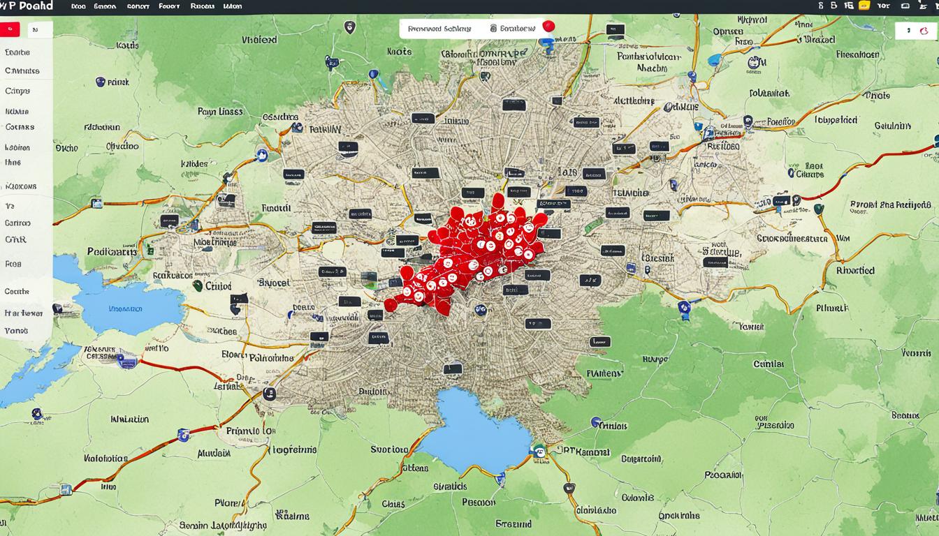
Navigating the Online Map of Poland
Exploring Poland’s geography online is now easy thanks to new map tech. The interactive map of Poland is made for users, making Poland map navigation simple. It’s perfect for students studying the country or travellers planning trips. The geographical map interface helps users move through Poland’s cities and landscapes easily.
The map comes with many features for studying or just looking around. You can zoom in to see Poland’s beautiful spots closely, or get a broader view. If you’re looking for something specific, the map’s search function is very helpful. It’s easy to find landmarks or lesser-known places.
This map is great for anyone, whether you’re from Poland or elsewhere. It shows off Poland’s geography in a user-friendly way. The online map is not only useful, but also helps people learn more about Poland. It connects users around the world to Poland’s nature and cities.
FAQ
What are the features of the interactive Poland map?
The interactive map of Poland shows lots of details. You can see places like provinces, roads, rivers, mountains, and cities. It lets you click on different layers to learn about Poland’s land and plan trips or studies.
Can I explore Poland’s topography and geographical regions online?
Yes, you can look at Poland’s varied lands online. It includes the mountains in the Carpathians and Sudetes, wide lowlands, and the coast. The internet gives insights into areas like Pomerania, Lesser Poland, and Silesia, and their important histories and today.
How can I locate major Polish cities on the map?
Big cities like Warsaw, Kraków, Łódź, Wrocław, and Poznań stand out on the digital map. You can search or zoom in to see these cities better. Also, you can look at their areas and roads around them.
Is the digital map search function easy to use?
The map’s search tool is easy and straightforward. Just type in a place or address to find it quickly. There’s help and tips on using the search, useful for everyone, local or from abroad.
Can the online map of Poland assist in itinerary planning?
Definitely, the Poland map online is great for planning trips. It helps plot paths, figure out travel times, and find interesting spots. The detailed map is key for creating fun and doable travel plans.
Is the geographical map interface suitable for educational purposes?
Yes, the map interface is perfect for school use. It shows Poland’s geography clearly, with its landscapes, cities, and regions. This helps teachers and students learn about Poland’s geography and culture.
Are there any interactive tools available for a deeper understanding of Poland’s geography online?
The online map includes interactive features for deeper geography lessons. There’re 3D views, street looks, and layers for history, weather, and tourism. These features make learning about Poland more interesting.
How can I view different types of roads on the Poland map?
The interactive Poland map shows roads like highways and small roads in different colours and names. Zooming in lets you see roads close up. This is helpful for planning trips and seeing how places are connected.